


6/2 Tuesday: A Pleasant Couple Days in Stored!
- silsmichael
- 14 hours ago
- 1 min read
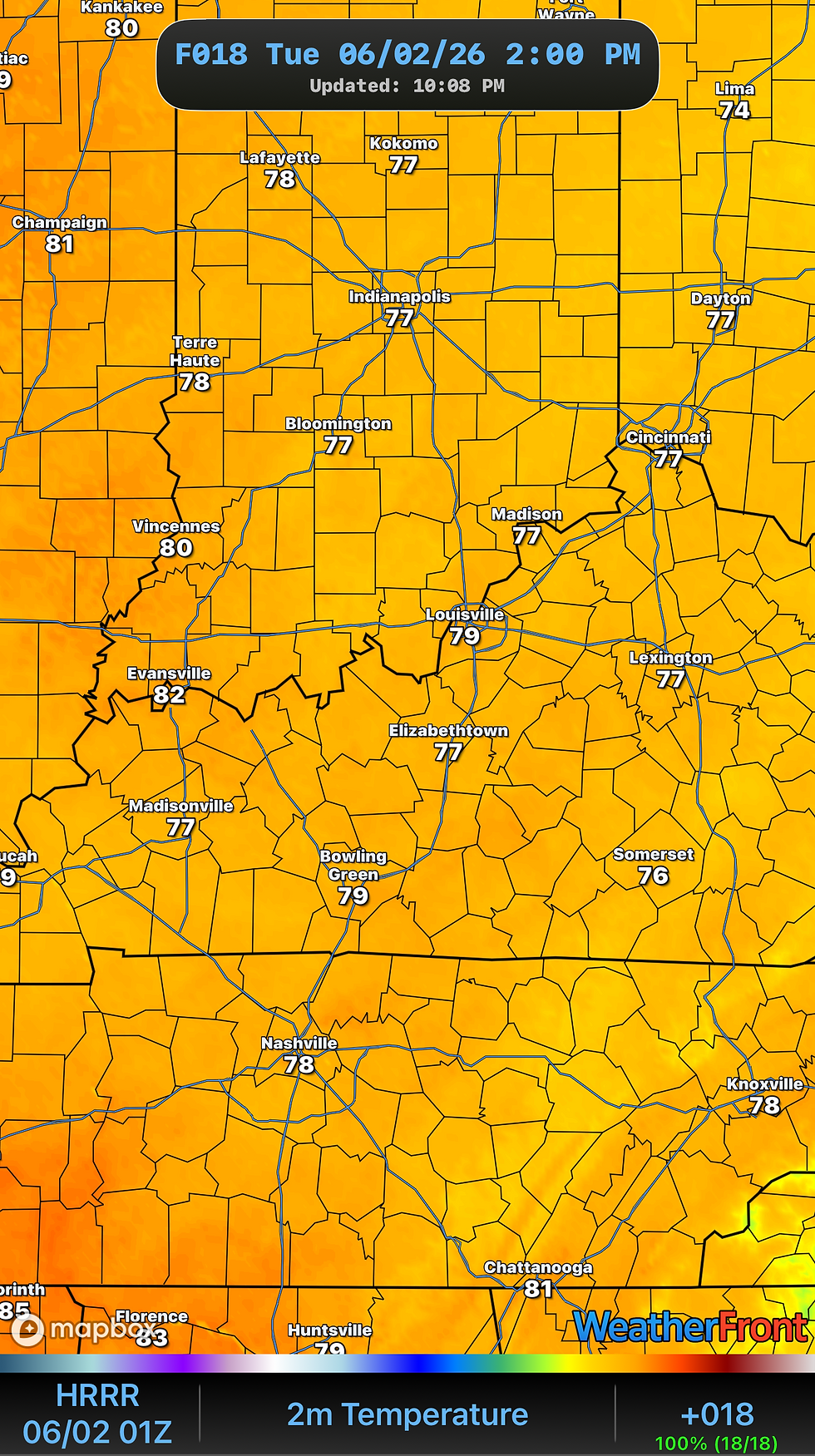
After a Stormy and rainy Monday for some, Tuesday looks the opposite! Surface High Pressure built in late yesterday to our North and will slowly drag South more into the Lower OH Valley. Much cooler, less muggy and drier conditions will continue through today and also into Wednesday. It may be a touch breezy at times out of the Northeast as the High builds in too.


What the selling point for next couple days is the DRIER Air! Dewpoints and Humidity will be much lower as compared to last last 7 days, as our levels will be “comfortable”… not so much as Muggy or Oppressive.
And I did mention WEDNESDAY. Weather Pattern by by HiRes and Global data look pretty similiar. Surface High Pressure stays on top of us as we keep any active stormy weather to the West and North of us. The High is like a brick; it’s hard to move out so it stays put until it just breaks down. Temperatures will stay warm but not sweltering into Upper 70°s/ Near 80°.
Enjoy your Afternoon!
-Mike


Comments